Snowfall has been predicted for mountainous regions in the Western Cape from Tuesday night.
Another cold spell has settled over Cape Town and its surrounding areas.
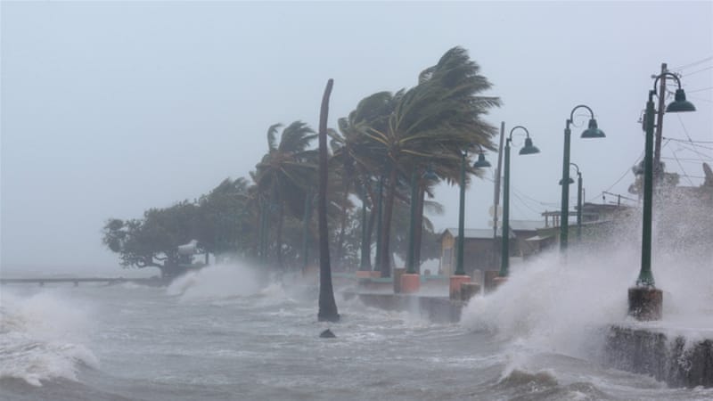
Forecaster, Khumsa Masizana: “Possibly a level 4 warning for disruptive snowfall within the high lying areas of the Western Cape from this evening into Wednesday. It looks they might have some high seas along the southwest coast between Table Bay and going all the way to Plettenberg Bay from Wednesday morning up until the evening.”
Meanwhile, a cold snap will see Gauteng’s temperatures dip below the zero mark.
The weather service is warning that a cold front making its way to the west of the country will see areas like Vereeniging and the East Rand experiencing minimum temperatures in the minus numbers.
The cold snap is expected to last at least until Friday.
“Thursday and Friday look like our maximum temperatures are going to be very cold. So mostly over the central and the southern part Gauteng, we expect the temperatures to be below 10 degrees. That’s the maximum temperature for Thursday and Friday, which were also quite cold for today, most of them were in the negative digits,” said Masizana.