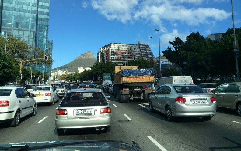
Cape Town’s problematic traffic congestion may be solved in certain areas following a study that has been launched by the City of Cape Town’s Transport department (TCT). The study aims to determine current and future access needs within, to and from southern suburbs. The study, which will last for the duration of eight months, will gather information that will lead to the development of a thorough transport plan for the area south of the Silvermine mountain range.
Mayoral committee member for Transport for Cape Town Brett Herron says the study will include areas Muizenberg, St James, Kalk Bay, Clovelly, Fish Hoek, Sun Valley, Sunnydale, Noordhoek, Capri, Masiphumelele, Ocean View, Kommetjie, Misty Cliffs, Scarborough, Red Hill, Dido Valley and Da Gama, Simon’s Town, and Glencairn.
“Over the last two or three years, we have been talking to and with engaging with the structures, community organizations and residents associations in the far south,” Herron told VOC Breakfast Beat.
“Coming out of those discussions is a need for an in-depth look at the access and mobility challenges in and out those far south suburbs and well as how we people move around within those suburbs.”
Herron said other than engaging with the community, it is now time for professional transport planners to look at the mobility patterns of public transport, private vehicles and non-motorised transport in the far south areas.
He said developed plans have to be looked at as well the development rights that have not been yet exercised.
As for vehicle movement patterns, the study has planned to link with the City’s Congestion Management Programme to discover pressure points that are associated with the morning and afternoon peak-hour periods.
“We also need to understand how the far south is going to develop and what the impact of that is on mobility and access, and then to make sure there are measures in place to enable people to have enhanced mobility and access,” adds Heron.
Already existing transport infrastructure and future plans of the major institutions in the area will be assessed in the study.
Herron stresses that is not possible to build the city out of congestion with more roads and lanes because of the already huge demand for extra road capacity. If extra lanes were added to highways it would then be quickly consumed by the latent demand that motorists would not notice extra lanes, he explains.
The solution would then be to change people’s behaviour and reduce the number of private cars and the number of single occupant vehicles on the road. Herron believes this can be done by shifting people to using public transport, which is known as “shared mobility.”
Herron said once a draft plan or proposal is made, a series of open days and engagements with the community will commence in the early parts of 2017. He adds that once a draft plan is completed, a plan will be taken to council for approval in order for implementation to take place. VOC (Imran Salie)